Wednesday, August 8, 2018 | Drifting off Signehamna in Krossfjorden, Svalbard | Forecast: Partly cloudy with late showers 5°C, 41°F Moderate breeze NW 10 knots | Midnight Sun (no sunrise or sunset)
This morning we set out on the Zodiacs to reach the shoreline of Signehamma in a different fjord – Krossfjorden (resembles a cross on the map) for a hike. Signehamna (hamna means harbor) is a bay at the outlet of a valley that cuts through the Mitrahalvøya (halvøya means peninsula). Gunnar Isachsen mapped this area in 1906 and had a wife with the name Signe, and so aptly named this beautiful harbor after her. I am starting to see how difficult-to-pronounce Norwegian names have quite simple literal meanings.
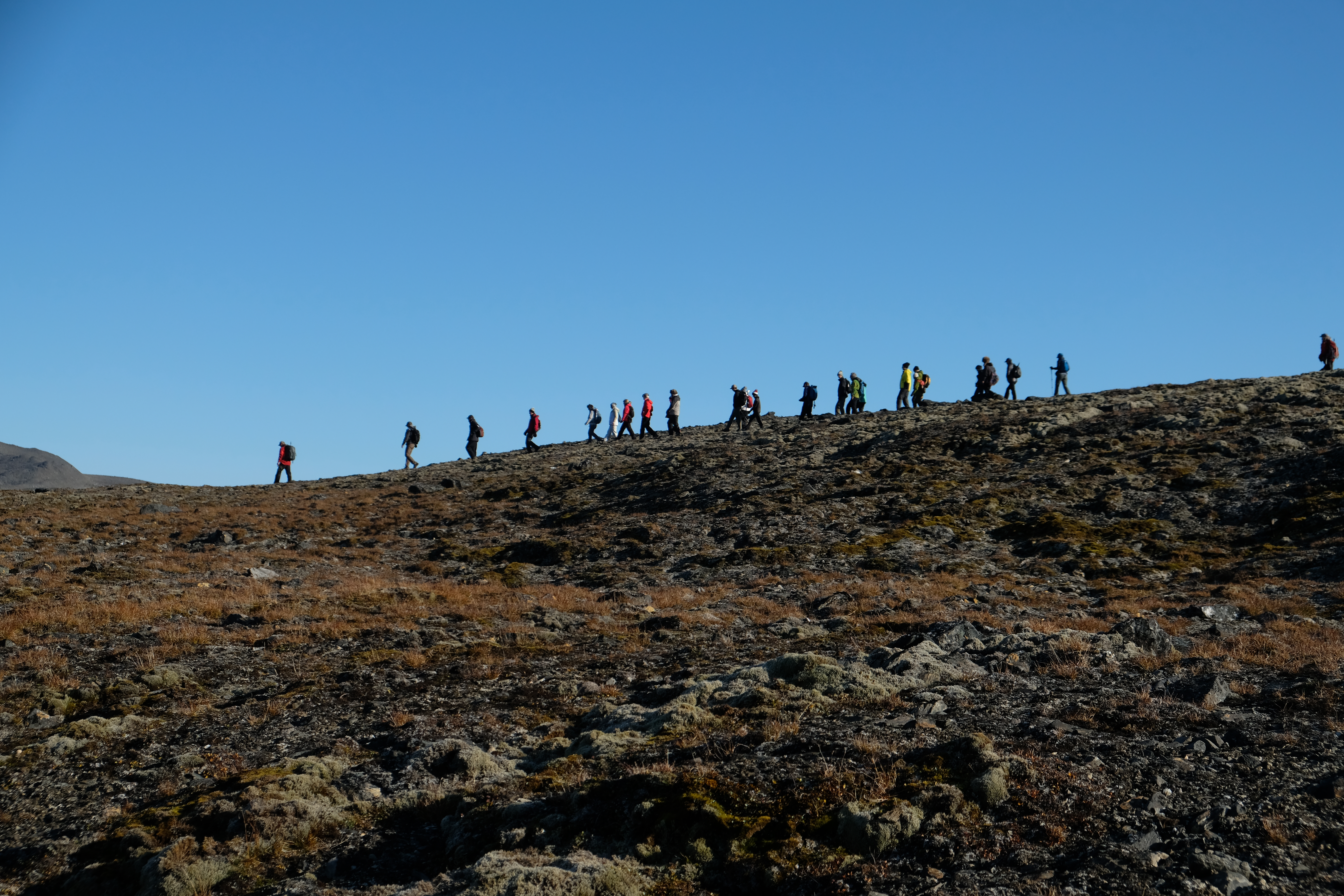
Once ashore, our group set out with two guides, both armed with rifles, in case of polar bear sightings (a regulation in Svalbard), to explore the island. The day was beautiful, not a cloud in the sky. It was described as a “once-a-season” kind of day.
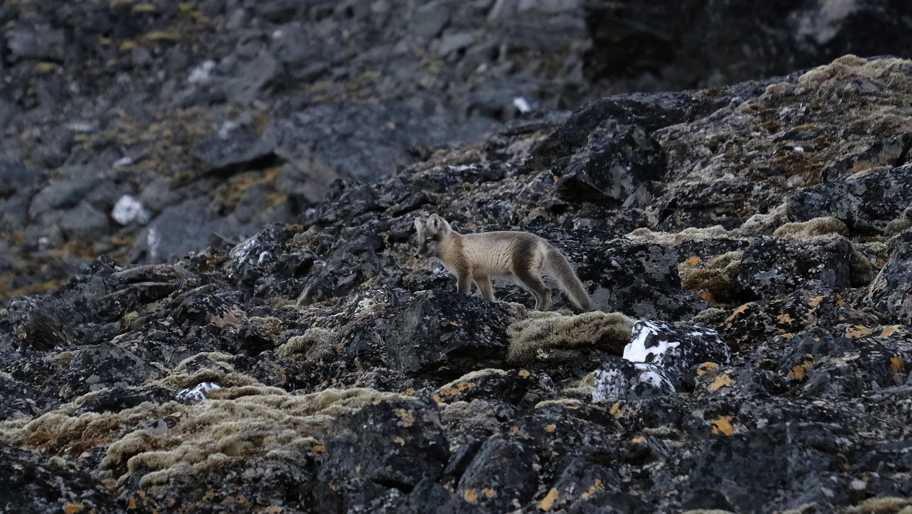
An Arctic fox was spotted halfway up the hill. We’ve probably passed more than one but they are masters of camouflage as you can see.
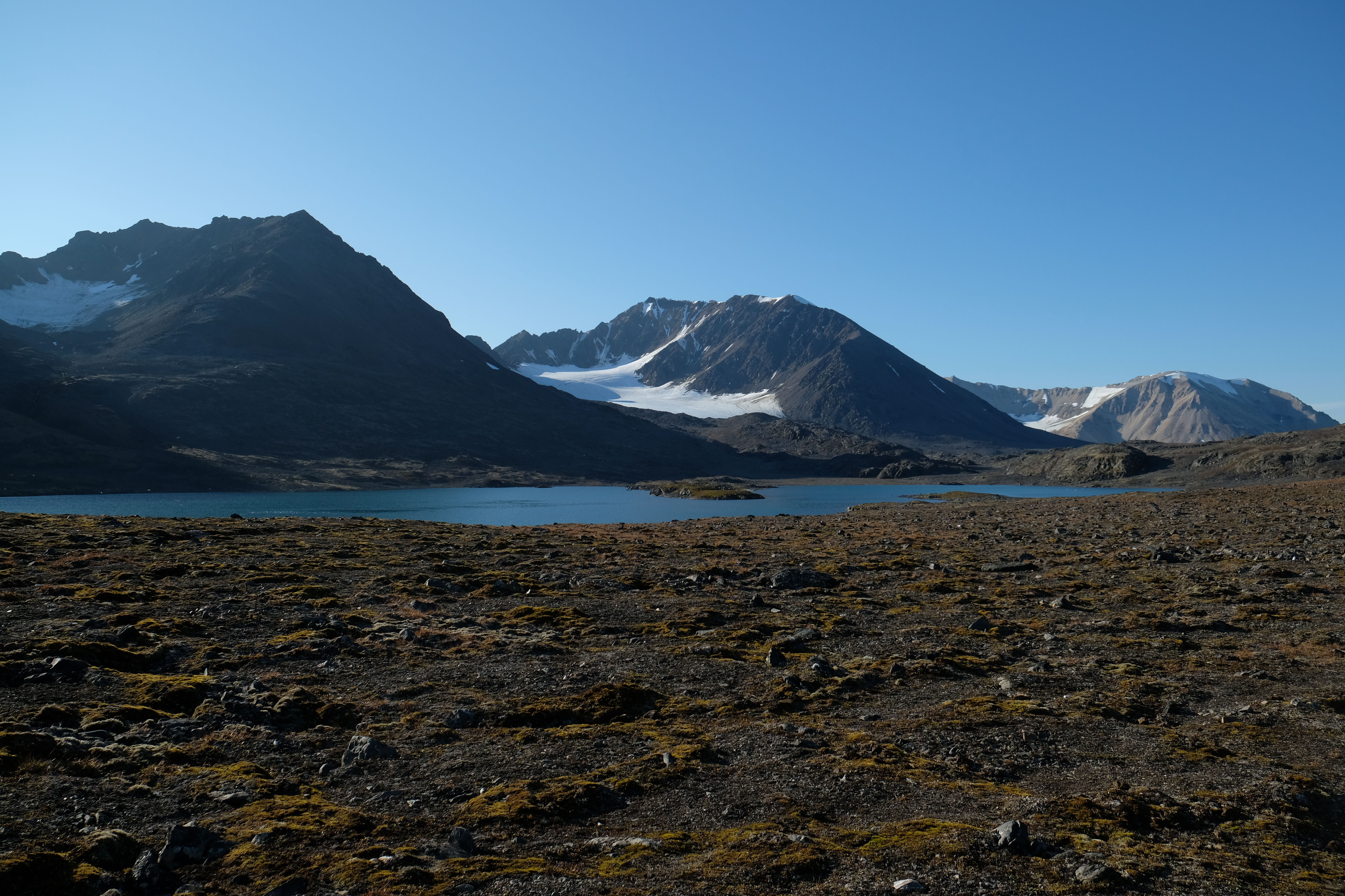
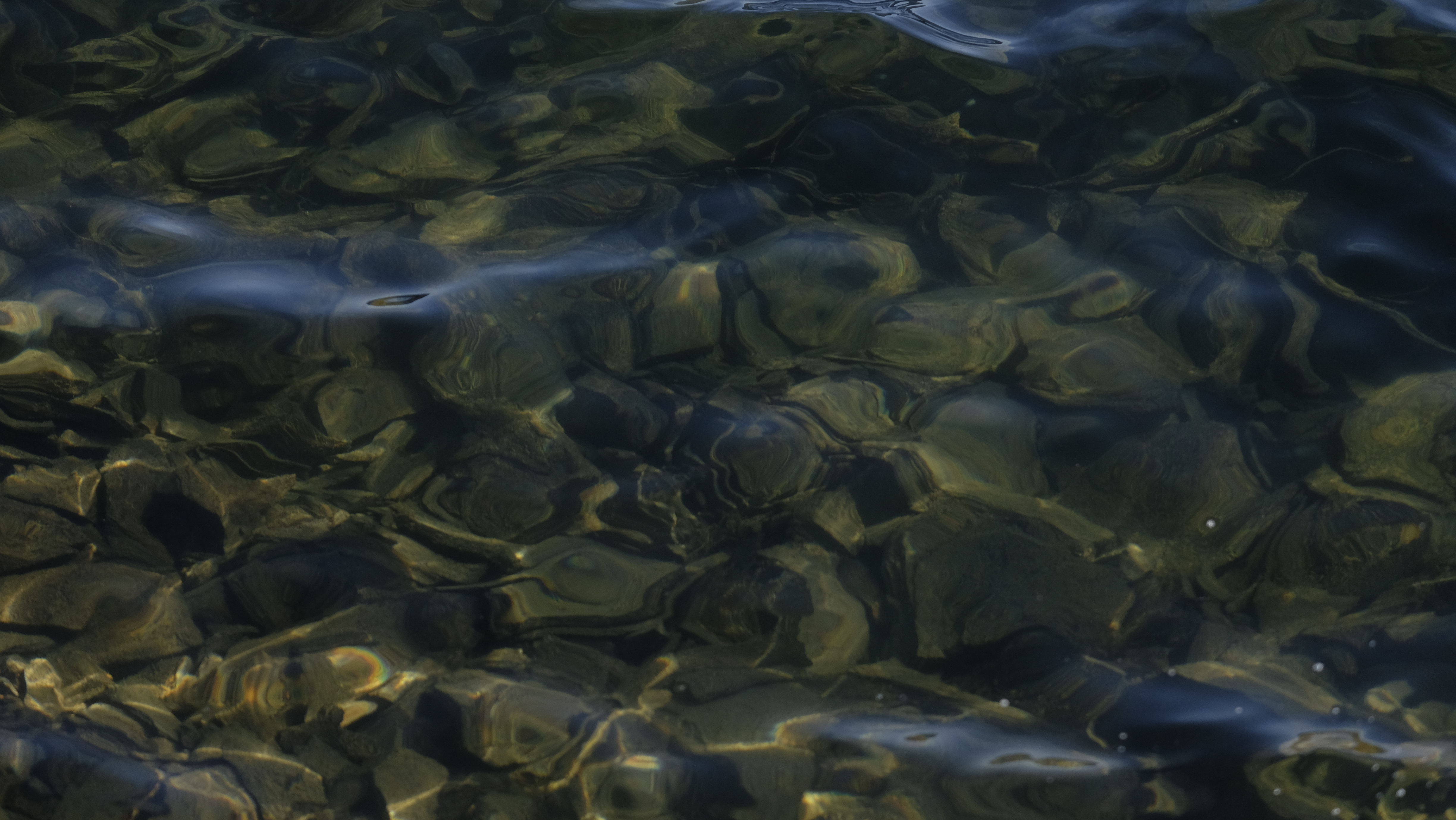
Once we reached the summit, a crystal blue glacier lake appeared. Glacier lakes are filled from the melting snow of glaciers. There are no outlets coming in or out and the water was crystal clear, although appeared quite green in my camera lens.
A little history our guide described…
In 1941 the German army commanded hidden weather stations to be built in the fjords of Svalbard. Weather forecasting is important for every army. The weather from the Arctic helped determine the weather patterns over the North Atlantic. In other words, if you know what is going on in Svalbard then you know what is on the way.
A secret weather station was built in Signehamna and was run by 11 men. For years they broadcast encoded weather reports to Germany while enduring temperatures of -40° and polar bears. Finally, on May 7, 1945, they received the message that Germany had surrendered. Their commanders ordered them to destroy everything – documents and weather reports. Then there was radio silence…
The team was stranded with only a rowing boat. Although they had a food supply for two years the notion of being stuck on the North Pole held little appeal. They waited for a sign from anywhere hoping that someone might tune in on the weather stations frequency, but no response ever came. Finally they started out sending signals on Allied distress channels. The Norwegians eventually realized what happened and rescued the men on September 4, 1945, four months after the war ended.
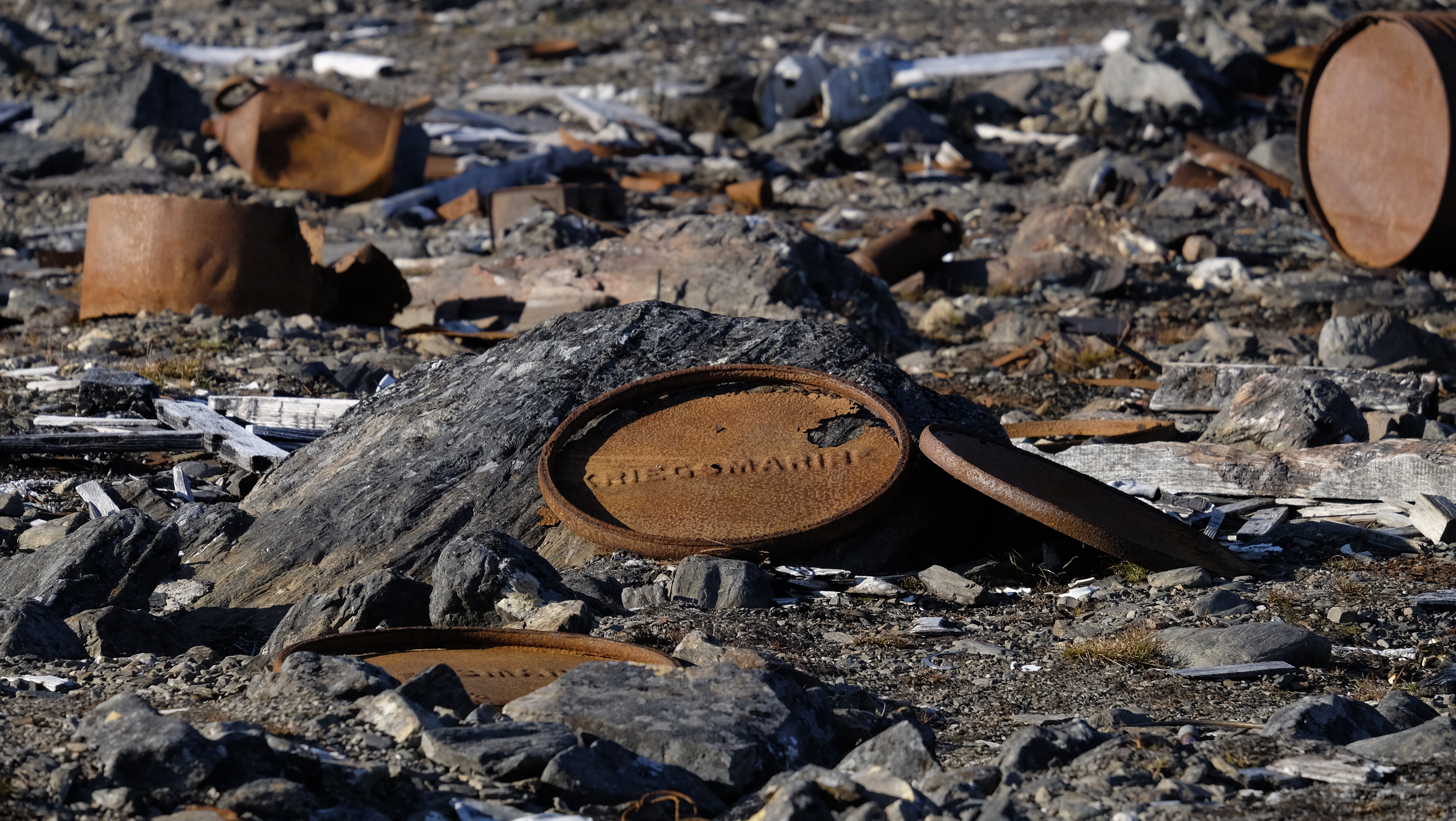
There is not much left to be seen of the weather stations now. Time, harsh weather, and mostly souvenir collectors have taken most of it away, but we did see a few remains.
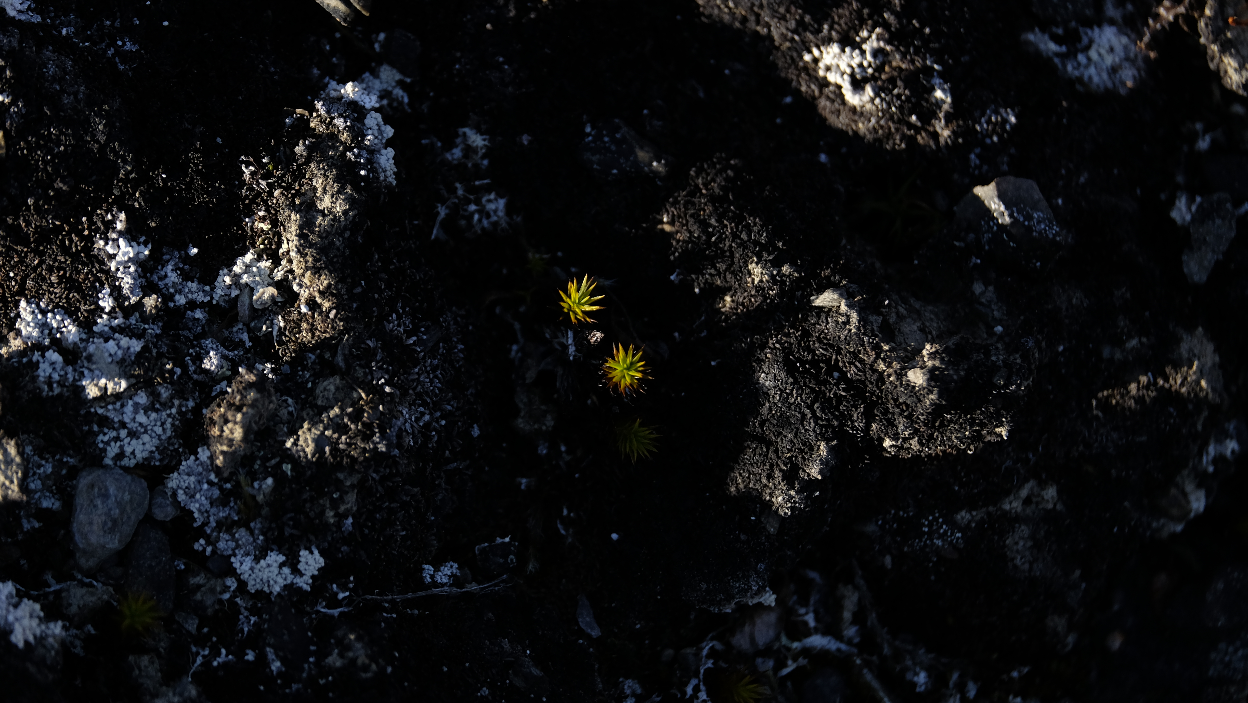
I spent some time looking down and zeroed in to the landscape below foot. It’s rare to see flowers blooming here. They do bloom in the summer but are quickly eaten by reindeer and other wildlife. The foxes prefer stealing the bird’s eggs over flowers.
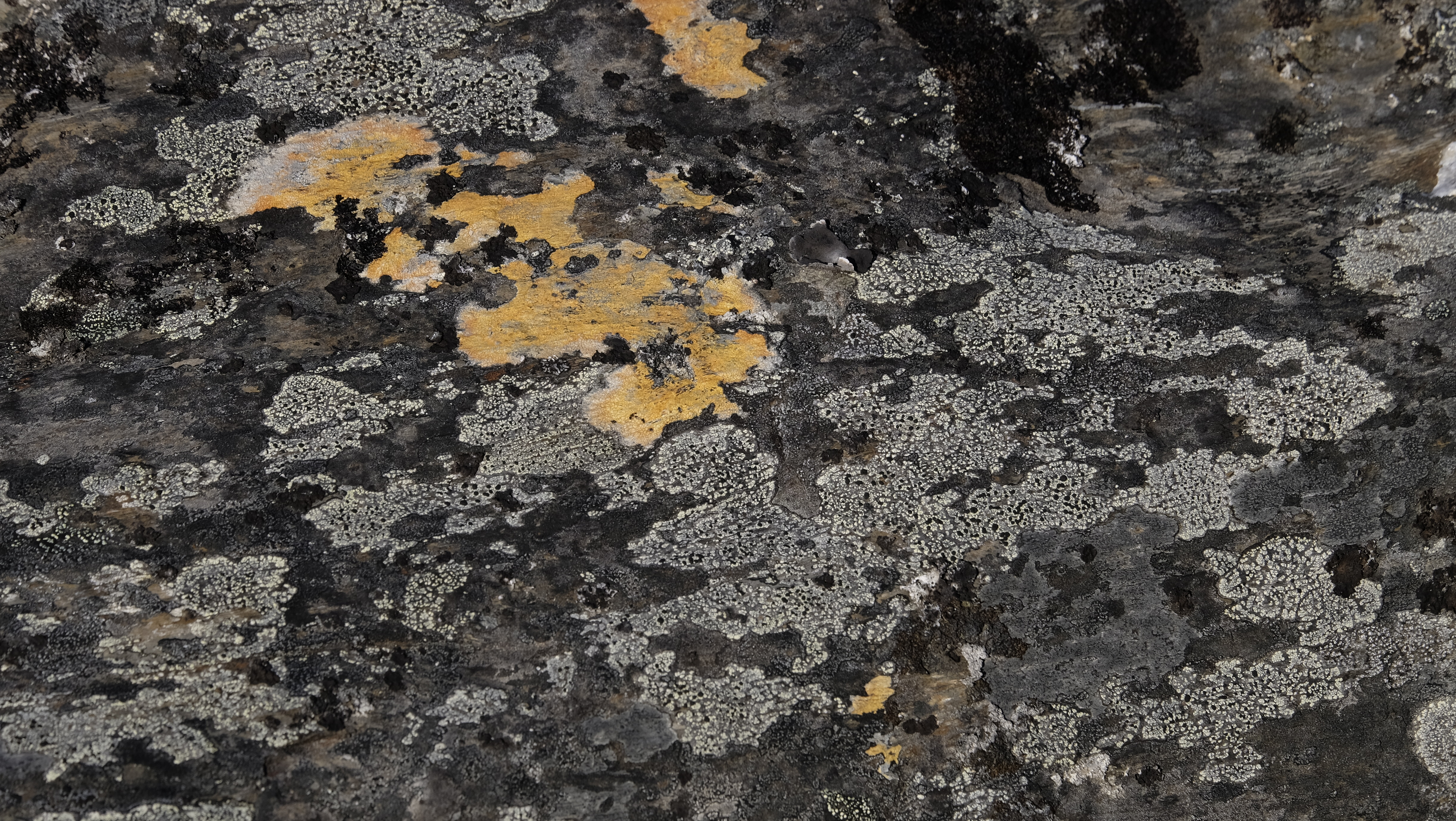
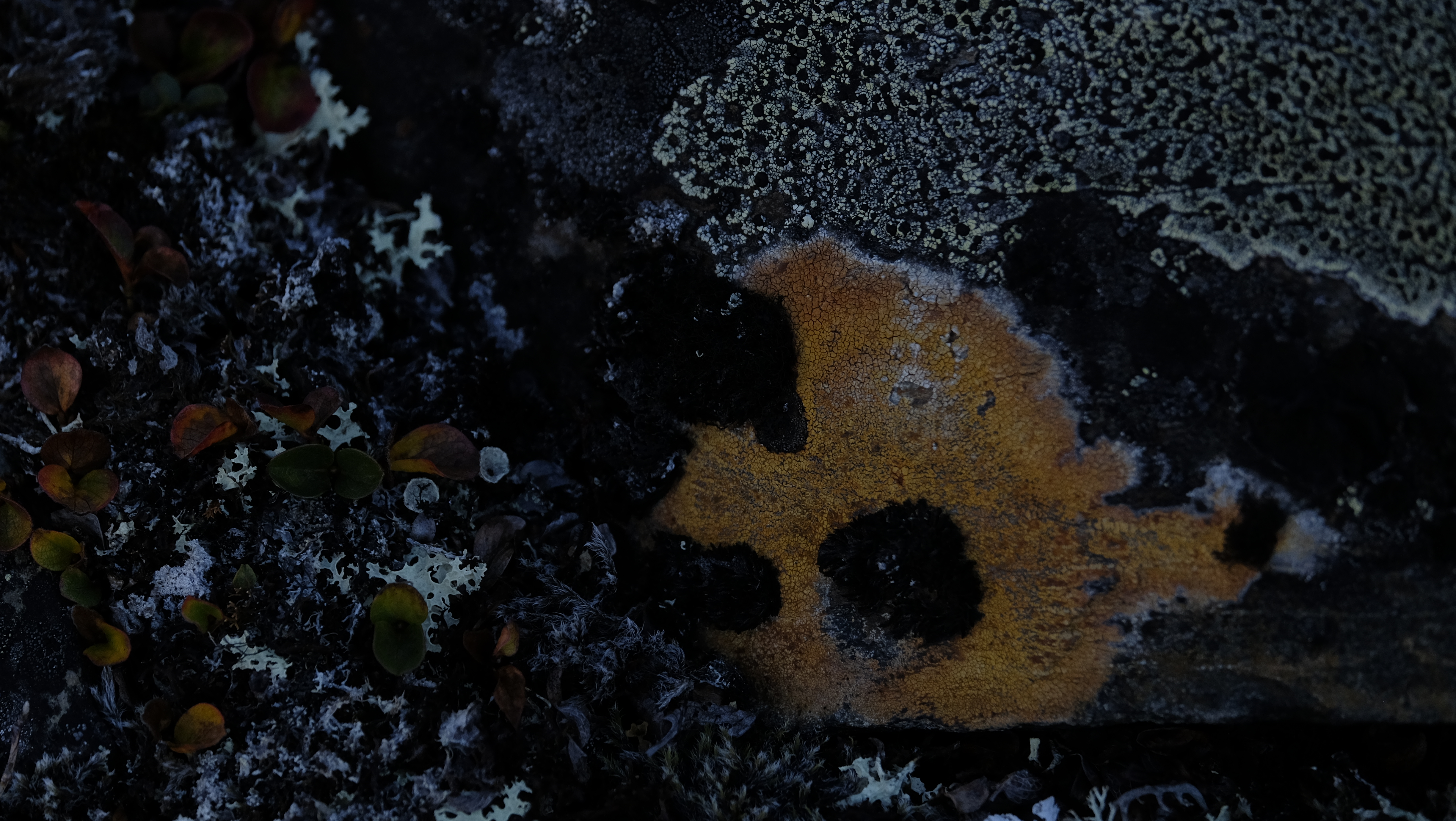
I was sure this was the result of a huge bird fight. One guide thought it was from molting. The other thought it laid here from melting snow. In my blog, it was a major bird fight.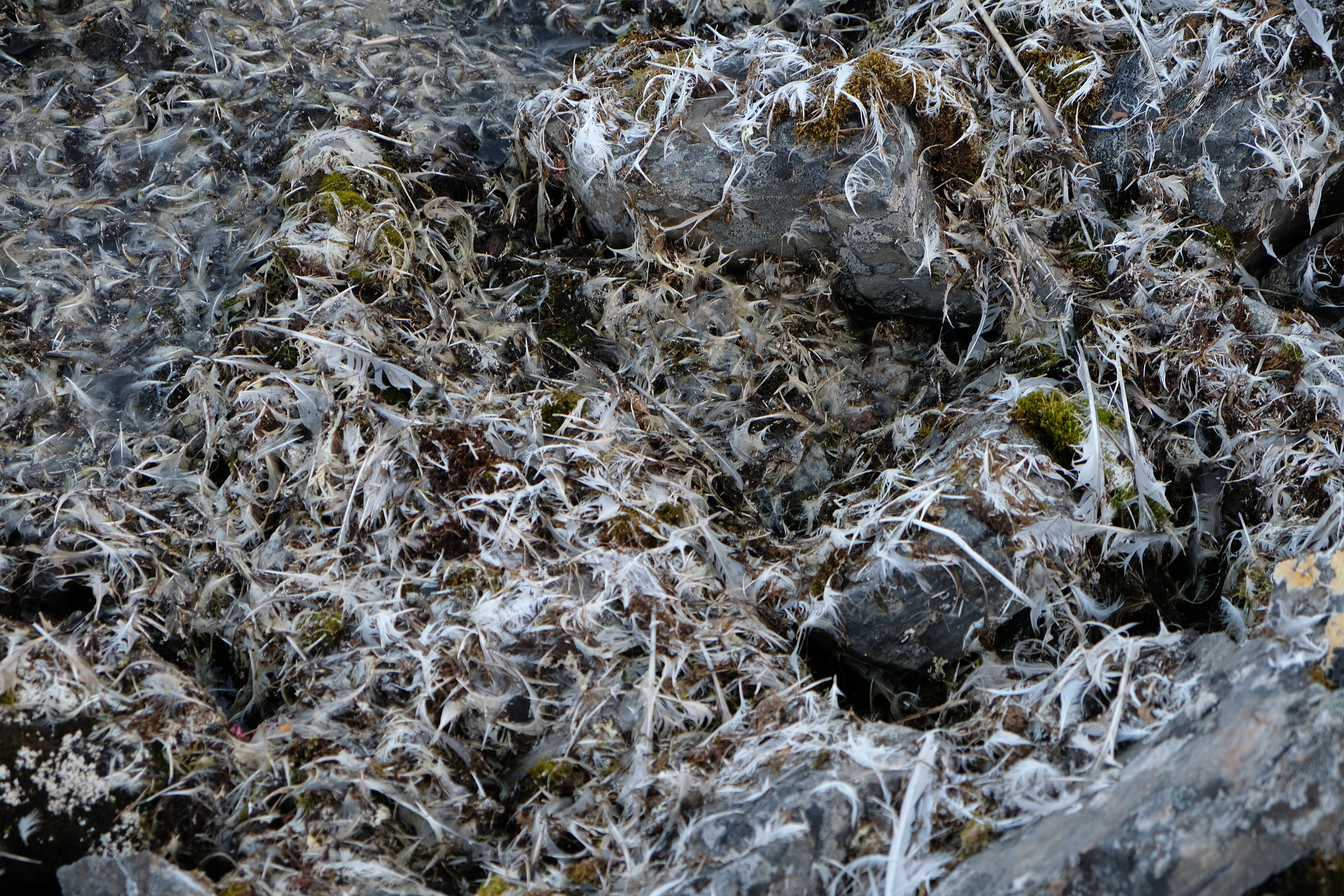
After we were back onboard, the Captain took us onwards. We approached a glacier by the name of Lilliehöökbreen, the Norwegian word “breen” means “glacier.” Lilliehöökbreen has receded so much in the last few years that we were able to go into an area that the electronic charts still said were part of the glacier, but due to rapid ice loss over the last few years was all open water. We have certainly now sailed in uncharted waters.
Leave a Reply